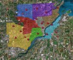
Ya, I noticed that issue as well, was not sure if on my end of not, but I generally had not run with the GL maps version. I keyed the colors off the example that was in the 2010 Annual Report that I used to trace out the sector boundaries. Thinking I will add some of the additional outlying Lucas County suburb fire stations at some point, and maybe some of the other police locations and law/sheriff sub stations. The other thing with the google maps is that it would be nice if you could have the annotations/text on the map, you have to click or refer to the side panel. Anybody have any thoughts for anything else to add?