- Joined
- Nov 16, 2004
- Messages
- 2,047
I should clarify the list I posted in no way indicates a CRIS site will 100% be installed at any of those locations. They are just some locations to keep an ear on based on recent microwave activities.

Nice. I see that much of the LA basin is empty. Is the map only of newly-constructed microwave sites? New CRIS sites could also be added to existing microwave sites. E.g., Johnstone Peak (KDX80) and La Habra (WAA777) are likely locations IMO....
Here is a link to a Google Map I put together with the state microwave sites that have been reported to the FCC as built since 2017 (I'll probably go back to 2015 as time permits). While not all of these sites are CRIS related it will give you an idea of some places to checkout while looking for new sites.
Correct, the state microwave network is far more dense than this google map, and is not there solely to support CRIS. You'll see FCC updates and records for microwave sites all the time for upgrades to radios/bands/bandwidth that have nothing to do with CRIS. Don't get distracted by normal day-to-day operations/upkeep of the state microwave network. That network has different goals and missions than LMR support and LMR sites (including CRIS) do not have to be on a site with state microwave.While not all of these sites are CRIS related it will give you an idea of some places to checkout while looking for new sites.
That seems kind of unlikely, doesn't it? They need some kind of backhaul, and the cost of adding another node to their own network has got to be cheaper/better than paying a carrier, doesn't it? Maybe something that's out of reach of the existing network and would require another site in the way, if there is such a thing, as big as their network has become, though I still think they would rather add another site in between.CRIS do[es] not have to be on a site with state microwave.
Likely unlikely. However I'm trying to get the point across, the tail does not wag the dog. Microwave doesn't dictate LMR. LMR goes where LMR needs to go. If a new backhaul is needed, so be it. IP can traverse many solutions. Agreed, likely the backhaul will be RF, or have RF redundancy. But especially as we start filling more rural holes, the microwave network gets far less dense and might not land where the LMR is needed to accomplish the goals of CRIS.That seems kind of unlikely, doesn't it?
Likely unlikely. However I'm trying to get the point across, the tail does not wag the dog. Microwave doesn't dictate LMR. LMR goes where LMR needs to go. If a new backhaul is needed, so be it. IP can traverse many solutions. Agreed, likely the backhaul will be RF, or have RF redundancy. But especially as we start filling more rural holes, the microwave network gets far less dense and might not land where the LMR is needed to accomplish the goals of CRIS.
In Mono County, there is one site lacking commercial power with a cell phone site and the state's microwave system present.
If you are talking about Sweetwater, that's a pretty amazing site. I've been there a few times. Big propane tank farm, and a lot of solar panels. I'll have to dig around and see if I can find the photos I took last time I was there.
 goo.gl
Is it this site?
38°23'18.1"N 119°21'59.4"W · Eastern Sierra Unified School District, CA
Eastern Sierra Unified School District, CA
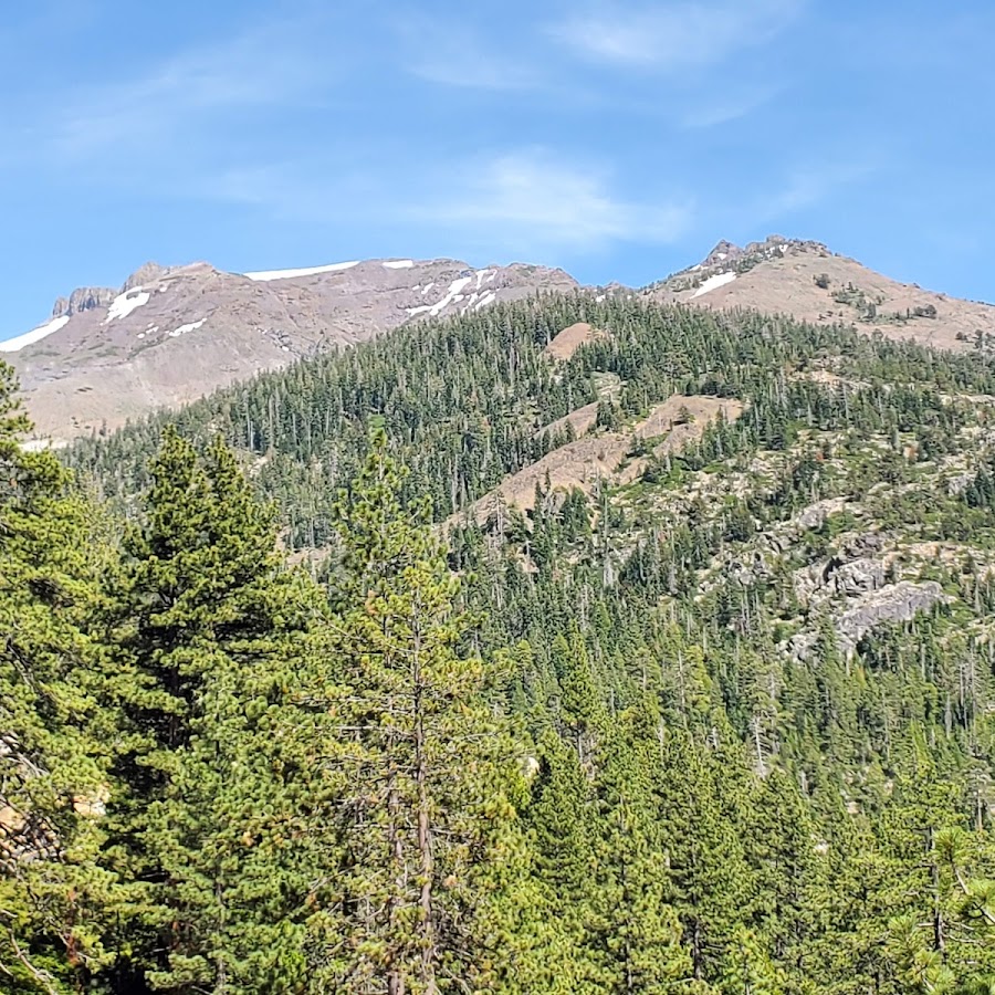
A couple more state microwave sites on that eastern route are solar as well. Rogers Peak in Inyo (google), and Leviathan Peak in Alpine (google). Good beautiful country out there.In Mono County, there is one site lacking commercial power with a cell phone site and the state's microwave system present.
If you are talking about Sweetwater, that's a pretty amazing site. I've been there a few times. Big propane tank farm, and a lot of solar panels. I'll have to dig around and see if I can find the photos I took last time I was there.
Is it this site?
38°23'18.1"N 119°21'59.4"W · Eastern Sierra Unified School District, CA
Eastern Sierra Unified School District, CA

I wonder if RID298 on TG136 was just late to the show then and used the wrong site?Listening to Tuscan Buttes, yesterday had the following:
RID's 276, 288 and 290 all hopping onto TG136, with a few E transmissions it appears.
Tuscan, Bloomer and Southfork are not connected to the core yet.
When you say this what are you using as a reference? The last time I was up to Bloomer it was showing connected, Tuscan and Southfork were in site trunking.Tuscan, Bloomer and Southfork are not connected to the core yet.
I see the state of California has applied to the FCC, for a few centralized trunking licenses in the VHF-High Band area. Are these new sites planned to be part of CRIS TRS?
Looks like the state has four VHF applications pending for CRIS sites.