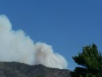
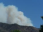
The initial wildfire of note is the fire proximal to the Tonto Basin. The Red Cross has an evacuation center in Payson for the 50 homes that are evacuated so far. The fire is estimated at ~200 acres so far.
Any freqs?
Any freqs?

...What's the name of the fire? WildCAD is showing the Punkin fire as 300 acres.
Most TNF fire activity in that area will be on Fire Net 1: Signal, Ord or Diamond.
I don't think they've published the 2021 Comms guide yet.

Fire north of Lake Pleasant {no name heard} air to ground is on 154.280.

 www.abc15.com

If you elected to monitor only two channels for this incident I would suggest 134.175 and 170.5125 and they currently furnish the most information as to what is happening.An additional frequency, 134.175 is in use for air ops
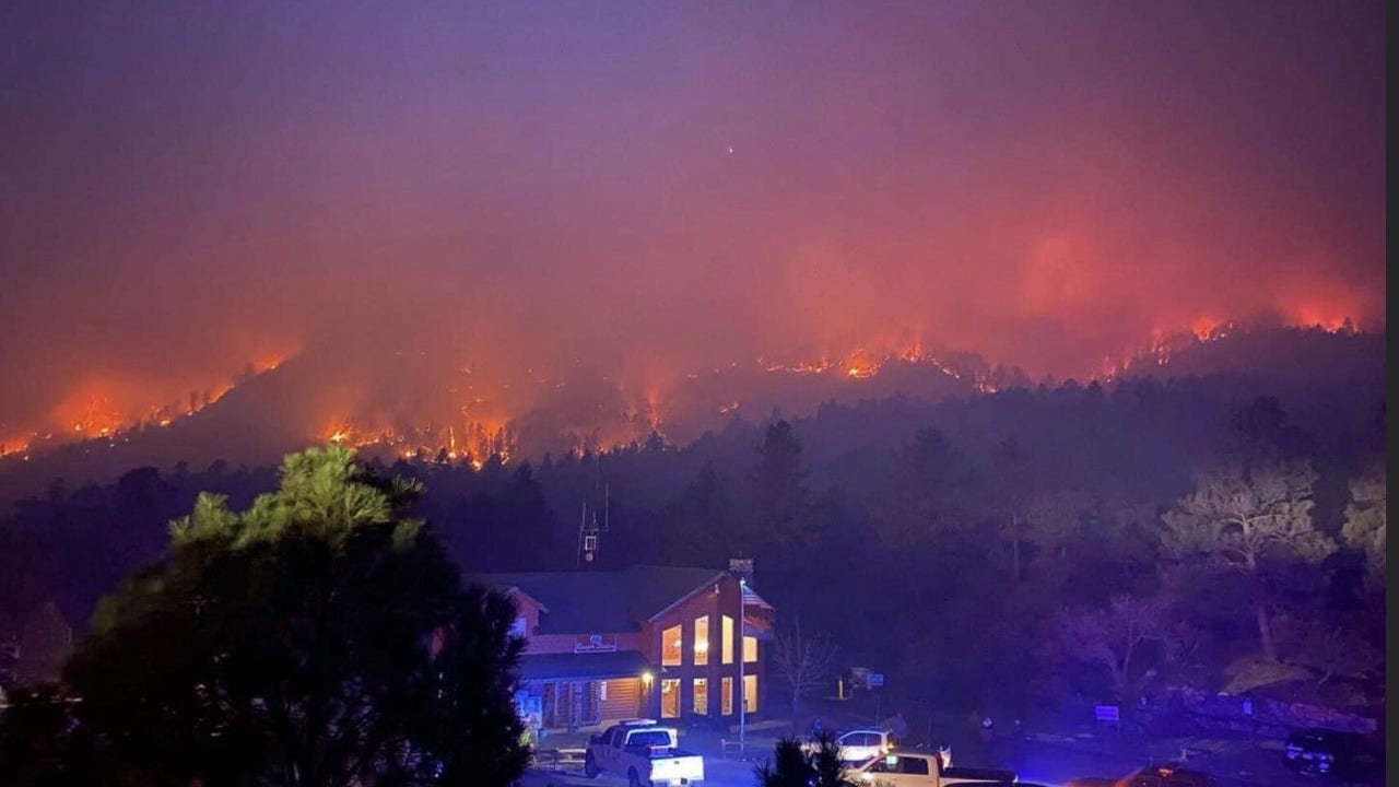
Multiple structures are also threatened. Interesting listening. A total of six air tankers (heavy) are now on order. The evacuation of people on the mountain is their largest current concern.
You can now add another very common federal frequency to the Flag Fire, 168.3500, used by many federal agencies. Simplex mode. It was just active two minutes ago.An additional frequency, 134.175 is in use for air ops
Multiple structures are also threatened. Interesting listening. A total of six air tankers (heavy) are now on order. The evacuation of people on the mountain is their largest current concern.