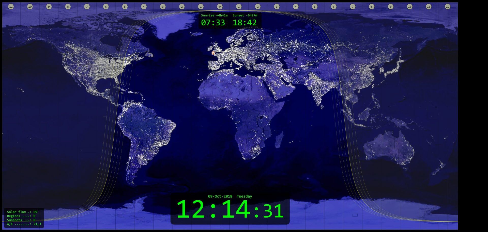
I just ran across a nice, simple gray line map that runs offline on Windows:
It updates every ten minutes according to your system clock, and can be resized or moved around on the screen. A UTC clock is displayed, as well.
Previously I had been using a far more complicated program that only displayed the map in a small window, and the rest of the screen was cluttered with data that I didn't need, like climate information for various countries, etc. It took up about 29 MB on my drive. The one I found today takes up only 154 kb, and is just the map itself, which was all I was looking for. Screenshot of the app covering my entire screen (screenshot reduced in size):


