
racin06
Member
The attached .zip contains the following files:
- SAFE-T Tower Waypoints.csv
- SAFE-T Tower Waypoints.gpx
The .csv file is for those of you who want to convert the SAFE-T tower waypoint information to another GPS receiver format other than Garmin.
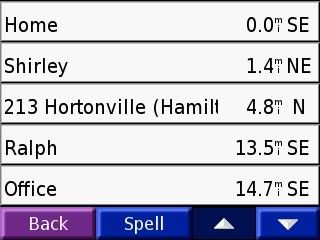
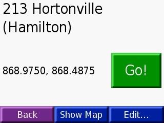
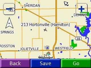
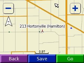
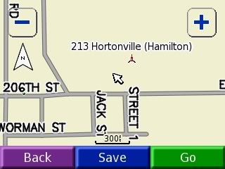
The .gpx file is for Garmin GPS receivers. Open the .gpx file in Mapsource and upload the SAFE-T tower waypoints to your Garmin GPS receiver. I used the Tall Tower symbol to represent each SAFE-T tower. Also, under the comments section of each waypoint, I included both the primary (listed first) and secondary control channel frequencies.
I thought of this idea a few months ago while I was traveling (of course, with my scanners) in Southern Indiana, but I didn't know the nearest SAFE-T tower(s). I thought it would be nice to have each SAFE-T tower's lat/lon and frequency information in my GPS receiver. This sure beats searching across the 800 mhz band. Enjoy!
- SAFE-T Tower Waypoints.csv
- SAFE-T Tower Waypoints.gpx
The .csv file is for those of you who want to convert the SAFE-T tower waypoint information to another GPS receiver format other than Garmin.
The .gpx file is for Garmin GPS receivers. Open the .gpx file in Mapsource and upload the SAFE-T tower waypoints to your Garmin GPS receiver. I used the Tall Tower symbol to represent each SAFE-T tower. Also, under the comments section of each waypoint, I included both the primary (listed first) and secondary control channel frequencies.
I thought of this idea a few months ago while I was traveling (of course, with my scanners) in Southern Indiana, but I didn't know the nearest SAFE-T tower(s). I thought it would be nice to have each SAFE-T tower's lat/lon and frequency information in my GPS receiver. This sure beats searching across the 800 mhz band. Enjoy!
Attachments
Last edited:
")